
Twin Tunnels
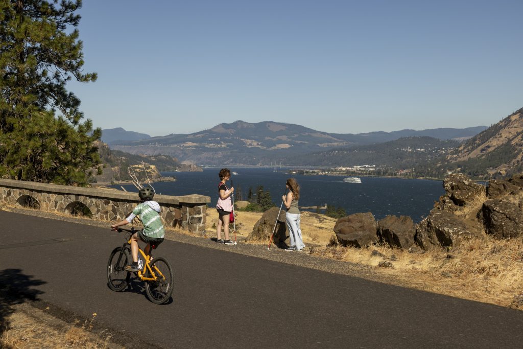
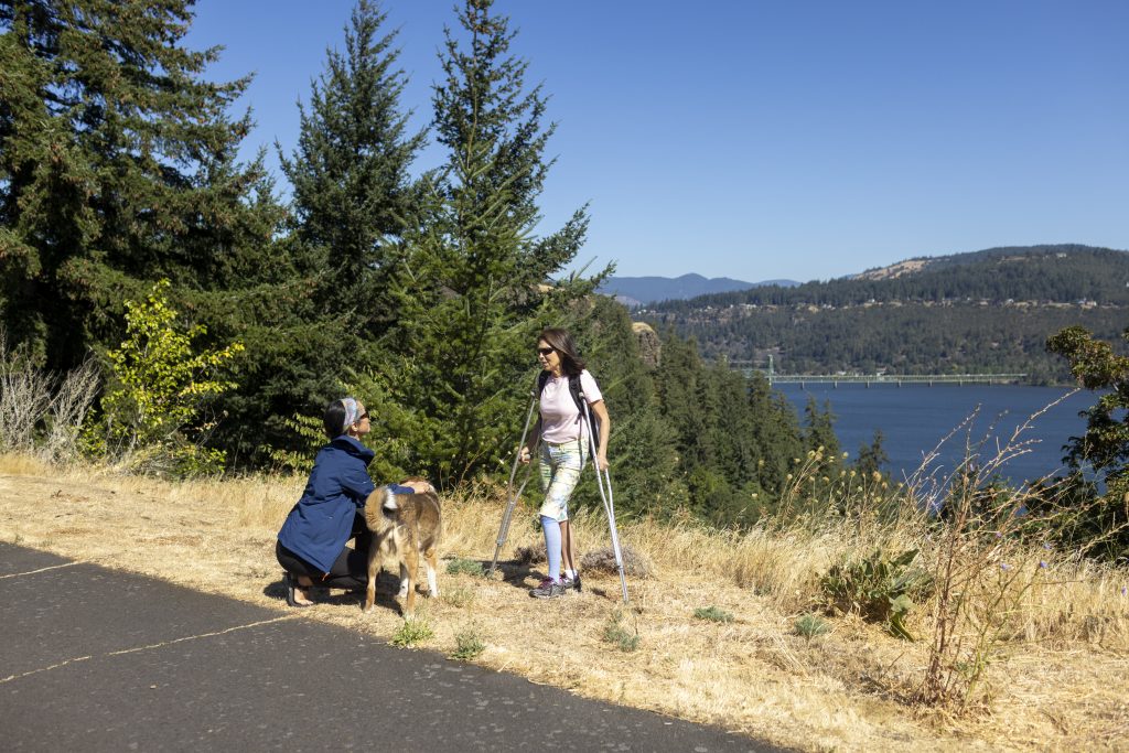
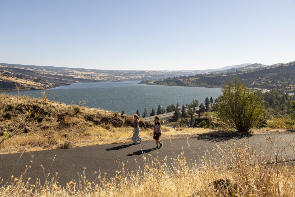
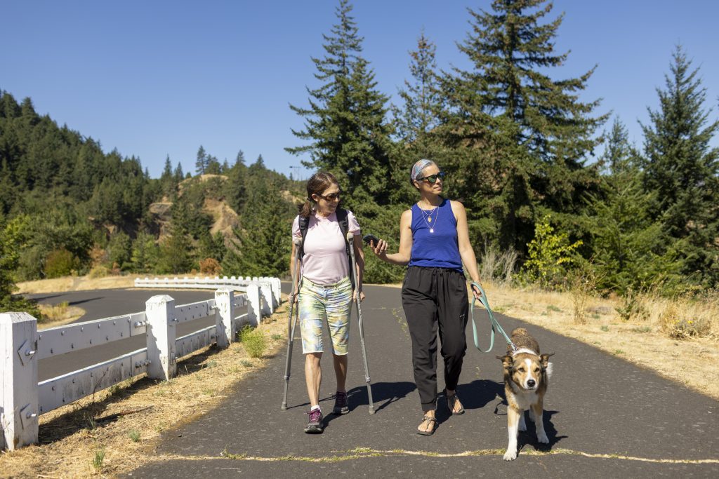
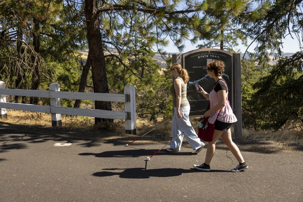
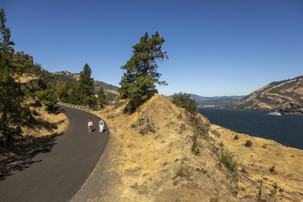
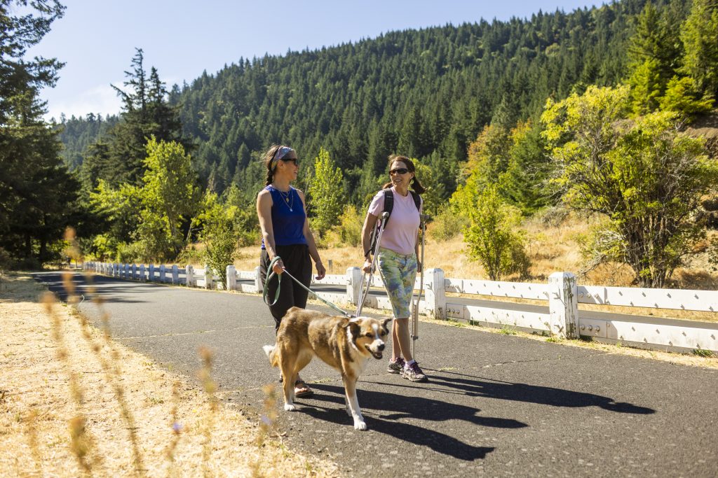
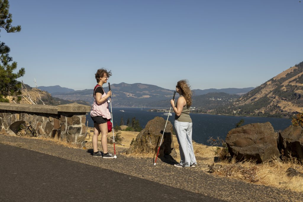
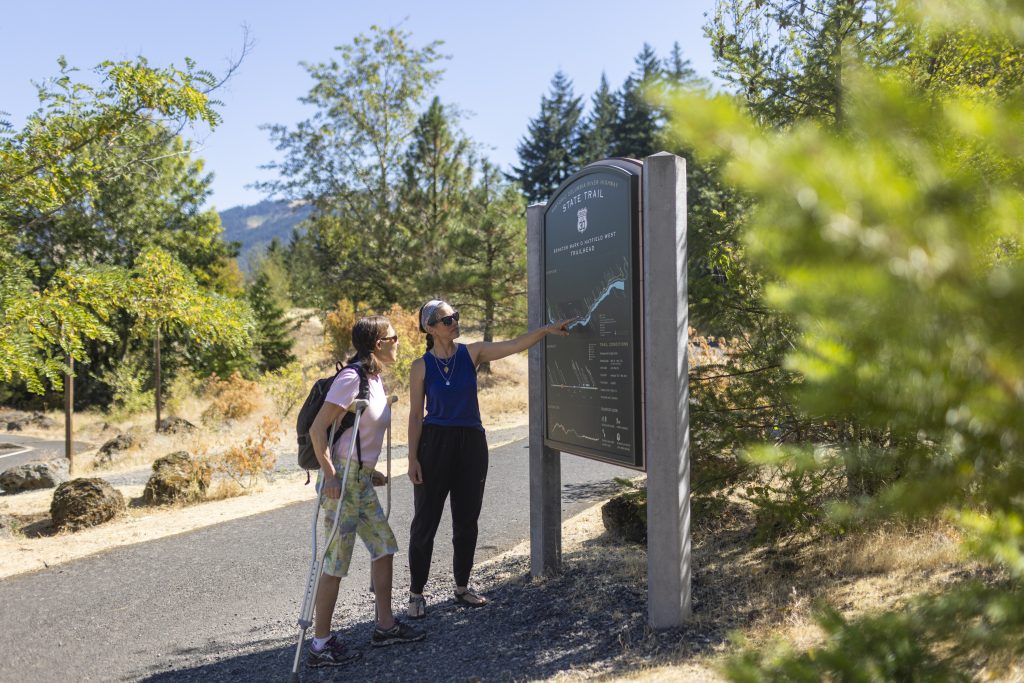
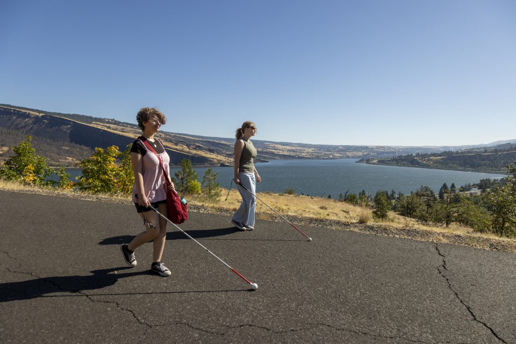
- My name is Ella Stromquist. I am a 15 year old visually impaired Gorge resident. I enjoy the Twin Tunnels Trail because of the shade provided by trees and its paved paths are easy to bike on and the hills and viewpoints provide relaxation and also fun when you can go fast down them
- .Hi, I’m Sophia. I am a visually impaired person who lives here in the Gorge.
- I am going to provide the accessibility information for the Mosier Twin Tunnels starting with the Mosier side.The Mosier Twin Tunnels runs 4.5 miles along the historic Columbia Gorge Highway through forested areas and with several beautiful lookouts along the way. There are four designated parking spots at the trailhead and two more in the larger parking area located 0.2 miles west. The larger lot also includes two bathrooms.The path is paved and 16 feet wide with a five-foot entrance at the start. There is a lookout 0.7 miles from the trailhead and near the historic tunnels with a rise of 174 feet. There’s a second lookout 1.7 miles from the trailhead which is the tallest point in the trail rising 377 feet from the east trailhead and falling 246 feet to the west trailhead.
Hi, I’m Sophia. I am a visually impaired person who lives here in the gorge.
And now I am going to provide accessibility information for the Mosher Twin Tunnels the Hood Riverside There are two designated parking spots at the trailhead and two accessible bathrooms at the trailhead The path is paved and 16 feet wide with an 8-foot entrance between rocks at the start There is a lookout 2.8 miles from the trailhead which is the tallest point in the trail gradually rising 246 feet the trail falls 377 feet between here and the east trailhead A second lookout is one mile further just after the twin tunnels. The east trailhead has two accessible bathrooms and four designated parking spots at the trailhead and in the larger lot Located 0.2 miles west there are two more designated parking spots as well as two more accessible bathrooms
So when I was little and I would ride my bike on the mosier tunnels trail. I used to get really nervous and scared and there was this song that I was taught in elementary school that goes down by the bay where the watermelons grow Back to my home. I dare not go for if I do my mother would say and then you do like a little rhyme and usually it was like an animal doing something and Something I came up with was have you ever seen a yeti eating spaghetti down by the bay? And so when I was on the trail because it rhymed I would just repeat to myself over and over again Have you ever seen a yeti eating spaghetti? Have you ever seen yeti eating spaghetti because I was so nervous And it helped calm me down It was on the downhills But it was also just like on the hills when I needed something like like a mantra get me up the hills But it would also be on the downhills when I’d get like a speed wobble.
AUDIO STORIES: TWIN TUNNELS TRAIL
Hood River Trailhead/Stop 1: First Scenic Hwy
First Scenic Highway | Bob Hadlow, Oregon Department of Transportation
My name is Robert Hadlow. I’m the Senior Historian with the Oregon Department of Transportation, which is also known as ODOT. I’ve been researching and writing about the historic Columbia River Highway for over 30 years.
The road you’re riding on today, Interstate 84, was initially started actually going back to the late 1930s in the area around Bonneville Dam, but with great energy right after World War II from the Sandy River near Troutdale to the Dalles. They constructed what they called the so-called water level route there, and it was made up initially of the first two lanes of what became a four-lane Interstate 84. They were pretty much complete by 1969 or 70.
So, it became the Columbia River Highway. They pretty much essentially moved, the name moved to the new road. The old road, the road that we’re proud of today and call the Historic Columbia River Highway is the original road, and its original name was just Columbia River Highway.
But to differentiate, we call it the Historic Columbia River Highway today. ODOT and its partners have been lucky to find money to connect all those bits and pieces to make the major portions of the Historic Columbia River Highway State Trail, which is a bike-ped only facility. No automobiles.
People are very safe, have a safe environment to ride their bikes or jog or push their strollers or rollerblade, and bicyclists especially do not have to get on Interstate 84. And the goal here that ODOT and its partners have is that bicyclists will be able to ride on the drivable portions of the road from Troutdale to Warndale and from Hood River to Mosier. But in between, we’ll have a strictly dedicated route for bikes and peds.
And we have major portions completed now, and we’re down to the last mile and a half. What makes the Historic Columbia River Highway significant is it’s the first scenic highway in the United States. ODOT demonstrated that in the late 1990s when we prepared a National Historic Landmark nomination for the Historic Columbia River Highway.
And one of the requirements there was to be able to prove that assertion. And comparing this highway with other scenic highways in the country, this was the first. And it set the stage for essentially what became the standards that the National Park Service used in creating its park roads, what they call a lying lightly on the land philosophy for roadway design.
So you have roads that are designed to high engineering standards, but not mar the natural landscape. And our highway is a National Historic Landmark because it had a role in a major current in American history. That is, it was the first scenic highway in the United States, and all other highways followed it.
And part of that’s because of its advanced engineering and its sensitivity to the landscape. We have about a mile and a half to go to complete the state trail between Troutdale and the Dalles. And at that point, someone will get on a bicycle in Portland and ride on roads and everything but the interstate highway shoulder from Portland to the Dalles.
Once we complete the last segment of this trail, we will have a world-class destination.
Stop 2: Magical Transition
Magical Transition | Claudia Steinkoenig, Botanist
The Columbia River Gorge acts as a transitional corridor between two main ecoregions, the humid West Cascades and the more arid Columbia Plateau shrub-steppe habitat. Near Portland, the gorge starts in a world of deep greens and the damp earthy smell of a temperate rainforest with moss-covered rocks and ferns. Out east, the trees vanish, leaving basalt cliffs and a sun-scorched grasslands.
The air is bone dry and the wind is legendary. On the Twin Tunnels Trail, you can directly experience this magical transition driven by the rain shadow effect of the Cascades. You’ll see the clouds stacked up against the west side of the mountains behind you, while the sky ahead turns bright blue.
On the west end of the trail, you’re in the rain-drenched forest. Douglas fir rising above the big leaf maple, red alder with snowberry, salmonberry, and thimbleberry as an understory, surrounded by western sword ferns. Douglas firs, although not a true fir, can live close to a thousand years.
The story goes, when a wildfire swept through the forest, a clever mouse ran up a Douglas fir to escape and hide inside a cone, squeezing in as far as it could but leaving its hind legs and tail sticking out. The dark forest gently transitions to the drier climate with stands of Oregon white oaks and ponderosa pine. Oregon white oaks are the rugged, resilient souls of the east side.
If you see a tree that looks like it’s been through a hundred years of wrestling matches with the wind, it’s probably an Oregon white oak. The white oak is a keystone species, which means the entire ecosystem relies on them. It’s a pantry offering acorns that are a high-fat food source for deer, bears, and birds.
Like the Douglas fir, the mature oaks have a thick gray fissured bark that protects it from fire. The trees usually get the spotlight, but there’s a hidden gem that most people walk right past. Once you find it though, it’ll probably become your favorite plant in the gorge.
Take a careful look in the moist crevices of the basalt cliffs along this trail. You may find the cheery face of the mimulus flower, commonly known as the monkey flower. The monkey flower is in the snapdragon family, and the bright yellow faces are noted to resemble the face of a smiling monkey.
The bloom time is long enough to give us a good window to see it, generally between March to August, but peaking between April to early May. The monkey flower is a magnet for hummingbirds, native bees, butterflies, and often serves as a host plant for butterfly larvae. It thrives in moist sunny places to partially shaded spots, making it a perfect pollinator species to plant in your garden.
Please don’t pick the flowers along the trail, but consider planting monkey flowers in the shady damp corners of your yard. It’s a beautiful native that thrives where little else will, and a simple way to turn your backyard into a pollinator garden. Thanks for listening.
I’m Claudia Steinkoenig, working as a wetland scientist and botanist for close to 30 years. I love the gorge, and I hope this story helps you get to know some of our plant friends in the area.
Stop 3: Singing to the Trees
Singing to the Trees | Toby Patrick, Confederated Tribes of the Umatilla Indian Reservation
My name is Toby Patrick. I’m a board member at large, board of trustees for the Confederated Tribes of the Umatilla Indian Reservation.
Sometimes it’s, there’s words in some of the songs that I sing. They have their, since time immemorial, these songs have been sang on this land, so I’m just like, one of the new guys singing an old song that the land’s already heard, you know, so I’m just waking it up again. It’s like, yeah, right.
I brought my nephew with me. We’re doing a float trip, and it’s evening time, and I says, the evening time at this time in the, like, 530, six o’clock time when you’re sitting there, and you’re in the forest, and you have a good set of trees, and there’s four of them. You could sing to those trees, and they’ll dance for you, but you got to be able to do it right.
Yeah, right, whatever, Uncle. You’re always telling me this BS stories and doing this stuff. Okay, Uncle, I’ll, I’ll bite.
What are we going to do? Oh, let’s just go sit down at the, sit down on the back porch. I’ll show you. So we go sit down on the back porch.
We’re about an hour in, smoking cigarettes, drinking Pepsi, telling stories. I started looking around, and that porch we was on, there was four trees, just the tops. They were like that.
I had my drumstick, and I hit my nephew, a little hand drum. I started doing a circle dance beat like this, and I started a song, and I looked at him, and I said, this is my dad’s favorite. He sang this one to my mom.
Nah. Okay, don’t blame me then, but watch. Watch those trees, and I started singing it.
Those trees were just like this, and then all of a sudden, just the two middle ones were moving. The two on the end weren’t, and then my nephew was looking at me like, yeah, right, you doing that, it’s the wind. Okay, so why are the two on the outside moving then? They should be moving more than the ones in the middle.
Keep singing, Uncle. So I kept singing, and it went from the middle two to the first two started dancing. One leaned on the other.
It just kind of, and it looked like it was doing this, and they were going rocking back and forth with each other, and then it looked like it stood straight up, and they were like that again, and this one went over that way, so it looked like it was leaning this way. Man, you remember this song? That’s what I shared with my nephew, and he looked at me, and he said, man, you’re crazy, Uncle.
Stop 5: Enter the Sound Gate
Enter the Sound Gate | Emily Martin, Forest Guide
This is Emily Martin, and I invite you to take a moment to relax into this space. If you’re here by the waterfall, I invite you to sit at the bench at the picnic table and start with taking three deep breaths, breathing in through your nose and out through your mouth. Start to notice the pressure of your feet inside your shoes and your shoes on the ground.
You might notice the heaviness of your arms, the temperature of the air on your face and on your hands. What sounds can you hear? What is the most distant sound that your ears can pick up, bringing your awareness and the sense of sound close into your body? Can you hear the sound of your own breath? Notice how the body feels at this moment. Is the body energized or tired, hot, sweaty, cold? Take a few moments to look all around you, not just at the waterfall, but the trail behind and the forest around.
You might gently turn in a circle, gazing up and gazing down. Before you keep walking to your next destination, I invite you to find one tiny thing, perhaps a flower, a fern, a blade of grass. Find one tiny thing that you might not have noticed before, before you leave this spot.
Thanks for listening and have a beautiful rest of your day.
Stop 6: Italian Masons of the Highway
My name’s Robert Hadlow. I’m the Senior Historian with the Oregon Department of Transportation, which is also known as ODOT. I’ve been researching and writing about the historic Columbia River Highway for over 30 years.
You know, someone asked me about who were some of the laborers on the historic Columbia River Highway when it was constructed in the teens, and one group that comes to mind are the Italian Masons. And some folks will tell you, oh, the Italian Masons, they only came from the Italian neighborhoods in South Portland. And they did come from there, but others came directly from Italy.
And one guy in particular was named Ralph Curcio. Who was Ralph Curcio? Well, Ralph Curcio came to Portland in 1913. He may have had friends here, and that’s who he hooked up with, but he got a job as an apprentice Mason on the historic Columbia River Highway, building the masonry retaining walls and the masonry guard walls and anything else that was masonry, you know, made out of basalt rock.
And then he seems to vanish a bit, but you know, he became part of the group of Masons here in the Portland area and was one of the leaders in terms of building the masonry at Timberline Lodge in the 30s. And he hooked up with house builders, especially the neighborhoods that had larger homes and had masonry walls on the outsides of the houses or had masonry walls on the landscape. And I was researching his citizenship papers, and you had to have sponsors.
And one of them was a prominent Portland architect, Roscoe Hemingway. So he was connected, but he got his start on the historic Columbia River Highway. And that’s really a success story, you know, and he lives, his house was about a mile away from my house and I drove by it recently.
And you know, there’s a masonry wall in front of that house. And I suspect that Ralph Curcio constructed that wall when he and his family lived there in the earlier part of the 20th century. I thought it was really cool and that nobody has torn it down.
So that’s a great story to talk about, you know, a success story. And his son continued on the business. One son did, the other son, like I said, went into one of the other sons went into another profession as an engineer.
Basalt is the native material out in the gorge. You know, you see masonry made out of, of course, bricks, but also if it’s stone or maybe granite or sandstone, you know, other materials like granite or sandstone or other things, whatever is usually available, because it’s expensive to haul rock. So you use the rock that’s nearby.
And especially in our highways case, there’s all sorts of basalt out there from all the volcanic activity, you know, from a long time ago. And we have nice columnar basalt. In some areas, you can really see the five sides of the columnar basalt.
Lateral Falls is a great one. You see, it’s just, it’s all stained yellow with organic material. It’s a fabulous, fabulous example.
I think one of the best. It’s interesting because the walls aren’t all the same. There’s a basic formula, but I think each mason shaped the pieces of basalt the way they wanted to.
And in some parts of the road, the pieces that they had, which were right nearby, were maybe smaller, smaller. And so you have many smaller chunks of basalt mortared into the walls. And other places, the pieces are a little bigger.
And some folks who are real students of the masonry on the highway can tell you, this was Mason A, this was Mason B. And they don’t know the names, but they know enough that they can tell that it wasn’t all the same person.
Stop 7: Shaped by Fire
Shaped by Fire | Elika Paki, Oregon State Parks
Aloha, I’m Ranger Elika Paki. As you move through this mighty river-carved canyon, I invite you into a story braided from basalt, wind, wildfire, and our shared kuleana, our responsibility to the land. Here, the sun warms the stone until it smells faintly sweet, like sage and sun-cooked moss.
You can taste the metallic tang of the river when the breeze changes, and hear the high crackle of grass beneath your boots. Feel the pulse of a place always alive, always moving. Yet, this living landscape is shaped by fire, and fire in the gorge is both teacher and test.
For thousands of years, fire has danced through these hills, creating mosaics of meadows and forests. Low-intensity burns once cleared crowded underbrush and released nutrients into the soil, opening space for ponderosa pine, Oregon white oak, camas, and the brilliant western bluebirds who rely on post-fire snags. Indigenous communities stewarded this land with cultural burning, shaping it into a resilient, regenerative ecosystem.
Indigenous stewards understood fire as a tool, not as a threat. Carefully timed, low-intensity burns were used to tend the land, the same way one tends a garden. But in recent decades, the rhythm of fire has changed.
Hotter summers, drier fuels, and the wind that turns spark into springing flame fronts, combined with the invasive plants that have shifted fire behavior dramatically. Fires today burn hotter, faster, and with far less mercy. Instead of creeping along the forest floor, flames now climb into the canopy, sterilizing soil and destroying seed banks.
Invasive grasses quickly colonize the burn scars, fueling a cycle of increasingly intense fires. Breaking that cycle is essential to keeping the gorge resilient. The microwave tower fire ignited in the summer of 2024 near Mosier, Oregon, just a few miles from here.
Named for a microwave communication tower nearby, it swept across these slopes. Flames raced across hillsides and rolled with terrifying speed, burning over 1300 acres. One of the most dangerous chapters came from an old, forgotten disposal site near the trail.
Decades ago, long before scenic protections, people tossed old tires, appliances, wiring, and orchard debris into remote corners of the gorge. When the fire reached the forgotten dump, the tires smoldered deep underground, feeding on trapped oxygen like a buried beast. They burned for months, exhaling fumes that left a sour, oily taste in the air and a heavy sting in the eyes.
I was the ranger responsible for that closure. Day after day, I patrolled the trail, listening to the low, unsettling hiss rising from the earth, feeling heat pulse from the soil. I witnessed firefighters debate whether to excavate the dump to extinguish the fire or let it burn out.
Digging would have meant cutting through layers of earth and exposing glowing rubber beneath the surface without self-contained breathing apparatus to protect them from toxic fumes. They ultimately decided to let the fire self-extinguish. The final remnants of the dump were eventually excavated.
Dumping harms wildlife, pollutes streams, and becomes dangerous fuel during wildfires. My great-aunt Palahi Paki taught me that aloha is a practice, not a greeting, a way of living rooted in care, compassion, and connection. When we care for the land, the land cares for us.
So with aloha, I ask you dispose of waste properly, report illegal dumping, support restoration crews, honor the land that holds you. The gorge remembers what we give it, the good and the harmful, and it grows accordingly. Malama the gorge, protect what protects us.
I’ve been Ranger Elika, Oregon State Parks.
Stop 10: Building A Better Road
Building A Better Road | Jonathan Hayden, Friends of Tryon State Park
My name is Jonathan Hayden. I am a mentor, educator, and lover of the environment. Welcome to the Mosier Twin Tunnel Trail.
Whenever I get a chance to visit the sights and sounds of the beautiful Columbia Gorge, I love to take my bike and ride the Mosier Twin Tunnels. The tunnels are a historic highlight of the Columbia River Highway that is known for its engineering beauty and scenic views, along with its diverse flora and fauna. However, I also see the tunnels as more than just scenic views, biking trails, and wondrous sights.
I see the tunnels as a symbolic trail that connects the past, present, and future together, connecting what once was to what currently is and what can be. As an outdoor educator, I spend my days inspiring youth to explore natural places.
As part of this, I believe we must acknowledge the true history of the land. Join me as we discover the Mosier Twin Tunnels together, absorbing history, ecology, sound, and culture. The tunnels on the Columbia River Highway were intended to provide a world-class scenic driving route.
However, this endeavor came at the expense of others before us. For example, before this was Oregon State Park’s land, this was home to the Wasco, Wishram, and other indigenous communities. These people have been on this land since time immemorial and were involuntarily displaced in the mid-19th century.
These people witnessed the highway carving through their ancestral fishing and village sites. They were excluded from the construction industry of that era, and their knowledge of the land was exploited and stolen. We must also recognize and respect the communities that came together either by choice or force to build the tunnel and highway.
The work was dangerous and labor intensive. Communities of color worked together during the day and were segregated at camp at night. There were European immigrants working alongside African-American, Latin, Asian, and indigenous workers, along with honor men, incarcerated men mostly of color, used to build the hardest and most dangerous sections of the highway.
Not only were these laborers excluded from the places they built, their histories and contributions have been whitewashed and erased. Paying respect to all the men and women in the past who lived, hunted, gathered, toiled, and thrived on this cherished land gives us a better understanding of where we currently are. It challenges us to create a future where together, as one community blessed with diversity and love, can allow this land to thrive and grow.
We are each other’s brothers and sisters, then, now, and always. So let each step you take on this trail take you on a journey that opens up your hearts and minds to the past, building a better road to the future. Enjoy your day on the trail and thank you so much for listening.
Stop 11: Small Enough to Make A Difference
Small Enough to Make a Difference | Arlene Burns, former mayor of Mosier, OR
My name is Arlene Burns and I’ve been here in Mosier since the early 90s and I was actually mayor for many years. I got on city council I think in 2014 and became mayor shortly thereafter until the beginning of 2024. So we have a small population.
We have about 460 people in the city limits and about 2,000 people in the drainage that consider Mosier their home in our same watershed. And we’re otherwise surrounded by the scenic area and by the river so we feel like we are stewards of this land and very lucky to be in this jewel of a spot that is we have a motto for our town, small enough to make a difference. There’s a section of the scenic highway between Hood River and Mosier that for many, many years was closed because of so much rockfall.
And when I moved to Mosier in the mid-90s, the tunnels, what’s called the Twin Tunnels, had been full of rocks already for 20 or 30 years. So then they were restoring that piece of highway and there was a woman from Portland who gave a half a million dollars on an eight million dollar project with the stipulation that the road was only allowed for pedestrians and bikes versus motorized vehicles. And it was quite a kerfuffle at the time because it was a small investment but that was her caveat and it created this phenomenal pathway between Hood River and Mosier that you can do by bicycle, by electric bike, by walking, and it’s just a breathtaking little journey through the tunnels.
And inside the Twin Tunnels, you’ll see if you’re going towards Hood River from Mosier on the right side, not far after you get in, there’s some scratches on the wall. And a long time ago, these guys were snowbound for several days inside, stuck inside the tunnel and it probably saved their life, but they etched on the rock every day that they were there. And see if you can find it, it’s pretty fun.
Trail Safety Text
Wilbur Slockish, Jr, Yakama Nation
I am Wilbur Slockish Jr. I’m a Klikitat. Walking on these trails, be careful of the rattlesnake. He’s still here and be mindful of the poison oak and poison ivy and other animals that shouldn’t be disturbed.
I hope that people will be safe when they walk on these trails and remember to take care of it. Don’t abuse it, you know, pull plants or all of that. It takes a while for everything to recover, so be mindful of the water.
The water is giver of life, so be mindful when you’re on these trails. Make sure you pack it in, take it out, don’t leave litter, as once this place was gorgeous, but some disregard the regulations and dump things and all of that. So be careful when you walk these trails, whether you’re on Oregon side or Washington side.
Those were our highways that we moved to go to village sites and other food gathering areas. I hope you’re safe on this trail. I hope you be mindful of that and have fun, but don’t litter, please.